The Origins of In-Car Navigation
1 comment
The navigation technology in our smartphones and dashboards may appear to be new, but it is the result of centuries of exploration and mapping, technological innovation, and economic competitiveness. They're now background characters in our hectic lives, dutiful, omniscient pals who always know the best route. And we're not even done yet. Market winds, such as customisation, continue to shape navigation.This article follows the evolution of in-car navigation from novelty to ubiquitous.
Analog to digital, stationary to portable
Motoring was a unique yet jarring sensation 100 years ago. Streets were frequently poorly marked and inadequately illuminated. Early innovations like the Jones Live Map and Baldwin Auto Guide offered a whimsical leap towards modernity against this setting. To provide directives to the driver, they utilised basic rotary technology. The Iter Avto gadget, into which the driver would load scrolls representing set routes, is the finest known example. These devices had a post-Victorian quaintness to them, with moving paper, glass lenses, and brass casing.
Fast forward a half-century to the 1980s, when digital modernism began to permeate consumer homes and automobiles. Enter the Honda Electro Gyro-Car, which is essentially an upgraded version of the Avto. It wasn't really GPS, but rather a 'inertial navigation system', or gyroscope sensitive to both rotation and movement. It was not portable; in order to get positional data, it had to be hooked to a modified vehicle transmission.The Navigator from Etak was the precursor to GPS in 1985. It made advantage of geocoding, which allowed it to associate a street address with a latitude/longitude coordinate.This worked in conjunction with a digital compass put in the automobile and two wheel sensors installed on the non-driven wheels. Despite its technological brilliance, it remained a niche product, selling just a few thousand copies.
In Germany, Steven Lobbezoo created the first commercially accessible satellite navigation system for automobiles. It was quite the gizmo, nicknamed 'Homer' after a James Bond tracking device: a modified IBM PC incorporated into the glove box, a huge disk for map data, all shown on a flat screen. It employed dead reckoning, a navigation technique in which it orients itself with preset points and measures distance and direction traveled from these positions.
Japan pushed CD-ROM routing technology around the end of the decade. These fed into Toyota's Crown Royal Saloon G's dead reckoning system, which is exclusively available in Japan. Following that, Alpine produced their version of CD navigation utilizing GPS satellites. However, CDs could only map a small region while taking up valuable trunk space. So, a few years later, Ford began experimenting with SD cards in their My Ford Touch system.Commercial automobile navigation became popular in the 1990s. Mazda stated that the Eunos Cosmo was the first production automobile with a built-in GPS navigation antennae system that was accurate to 45 meters. Reviewers at the time noted that the screen zoomed in in just nine seconds, which is as hilarious as it is unrelatable.Mazda may have been the first, but GPS quickly became an industry buzz, with other automakers following suit. Toyota launched "Electro-Multivision" GPS in the Toyota Soarer, which features an appealing 6-inch color LCD screen. Mitsubushi installed a GPS system in its 1992 Debonair vehicle, and BMW introduced the first European model with GPS, the BMW 7 series.
Portability becomes vogue
By the turn of the century, market weight was shifting toward portable navigation devices (PNDs), which allowed consumers to buy road navigation separately from their cars.Amsterdam-based TomTom, which began as a B2B applications firm, shifted its attention to PNDs and became a household name with Garmin in the United States.
And then there were cellphones and applications
The bristling technology and embedded GPS features of the medium were clearly used for navigation. The digital mapping tools that have put the world in people's pockets have dominated this age. Apps like Bing Maps, Waze, and MapQuest compete for the pie, but there is only one king in this market: Google Maps. In fact, despite the fact that competing programs portray themselves as more driver-oriented, we could title this entire essay 'Navigation Before and After Google Maps' with perfect usefulness.
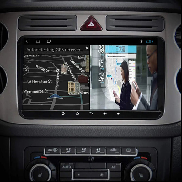
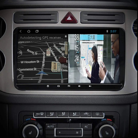
The next phase in navigation involves a system responsive to the user's vehicle and driving preferences as the car market segments and electrifies. Chargetrip, which was created in 2017, solely serves EVs. It tailors routes to the individual characteristics of a user's automobile, as well as environmental elements, because it is acutely aware of the range and charge anxiety that plague EV users. Chargetrip is part of a larger market trend toward personalization, which believes in servicing the consumer as an individual rather than as a group. Other trends lead to a 3D HMI experience, with businesses like Unity developing a 'digital cockpit' – a new type of navigation experience right out of a '80s sci-fi film.
From the compass to the app and beyond
Navigation has had a colorful, age-spanning gallop into modernity, from ancient sailors using a compass instead of the stars, through steampunk contraptions, to systems that recognize how and what you drive. Future-gazing is a risky game, but as technology advances, navigation will almost surely become more exact, detailed, and relevant to the particular user. We're thrilled to be a part of the rising wave of a new generation of in-car navigation at Chargetrip.


Commenti (1)
Muchas gracias. ?Como puedo iniciar sesion?